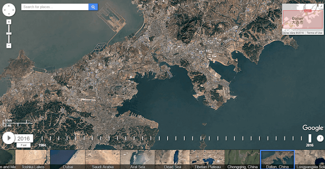
"Google Earth Timelapse" is the name of a project that Google launched in 2013 intending to show how climate change is affecting our planet.
The project then included images from space from 1984 to 2012, but now they are refreshed so we can see from 1984 to 2016!
All you have to do is select the part of the planet on the map above which you want to follow the changes over time, set the slider to the starting position (1984), and slowly move to newer dates. You also have a "Play" button so you can let the images change on their own.
In this way, you can, for example, see how fast icebergs are melting, lakes are drying up, water levels are rising, or maybe even how a city is developing (expanding).
For this project, Google had to comb three quadrillion pixels and more than 5,000,000 satellite images to create a series of 33 images of the entire planet as it changes over time.
If you have time, you can watch the Youtube list, which lasts a total of 40 minutes, where there are some significant changes on the surface of the planet Earth.

Comments
Post a Comment